Find the places of your Irish Ancestors – An Irish Historical Map.
This is an Irish Historical Map that will show you just what the environment, and life, was like for your Irish ancestor up to the late 1800s. The map was also the result of a country-wide survey that successfully preserved the names of many of our townlands across Ireland.


Now Reading:
Find the places of your Irish Ancestors – An Irish Historical Map.
Three years ago, the great Irish playwright – Brian Friel – was laid to rest in his ancestral homeland of Glenties in County Donegal. Do you know Brian or any of his plays? They included: “Philadelphia Here I Come”, “Dancing at Lughnasa” and “Translations” to name but a few.
His plays were always based on the Irish family setting, and often involved themes of emigration and the disappearing of Irish culture. It is well worth attending one of his plays if one comes to your locality. Another recent play, Dancing at Lughnasa was made into a film starring Meryl Streep – also well worth a watch if you have not seen it already.
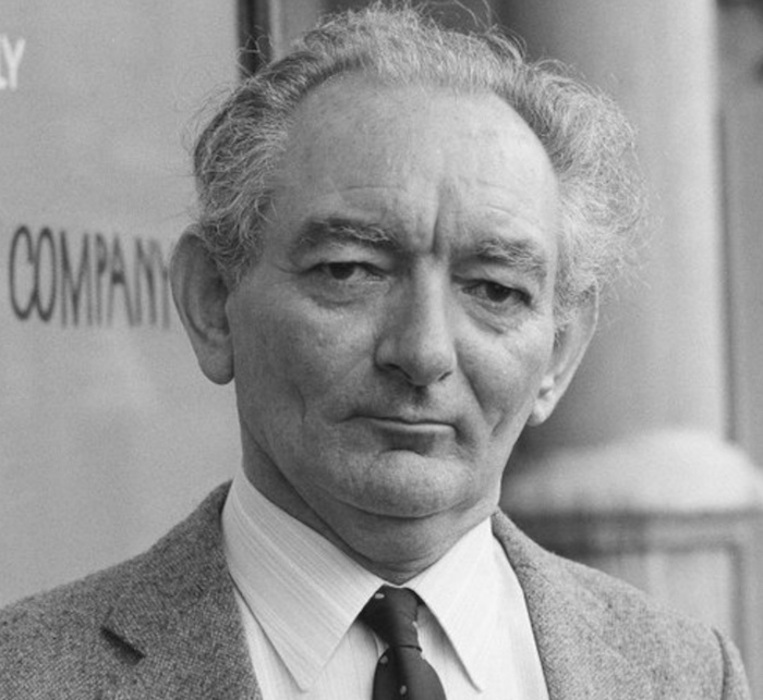
Brian Friel
However, for today’s letter, I would like to chat about one of his plays in particular. The play is called “Translations” – and it deals with a subject very close to the hearts of many of the readers of this letter. It is all about mapping the townlands and villages of your ancestors in Ireland.
Irish Historical Maps – Mapping The Colony.
The time is the early 1830s, the place is rural Ireland – the setting is a fictional village in County Donegal called “Baile Beag” (pronounced “Balla B’yug). It is a time when the Gaelic people of the area still spoke in their native Irish tongue. The fields and villages were still known by the Irish names they had held for centuries. It was also a time when Ireland was emerging from penal laws of the 1700s – there were still hedge schools and mass rocks, but these were slowly being replaced with new National Schools and Churches across the land.
It was also a decade that saw the first major land mapping initiative on the island of Ireland. Maps have always come into being for one of two reasons: the first was to help travellers and seafarers make their way through uncertain territory, the second was to divide and put a value on the land – usually for the benefit of a colonising force.

However – along with the drama, abductions and love-triangles – a central theme in the play revolves around how to name the local townlands and villages correctly on the new map. How should these places be interpreted for mapping and translation into English? Ironically, it is an English cartographer who cared most about preserving the local culture and traditions by translating Irish placenames in a way that encapsulates how they sound.
And so, places like:
- “Baile Beag” (small home/village) become “Ballybeg”.
- “Drom Dubh” (black ridge) becomes “Drumduff”.
- “Poll na gCaorach” (pit of the sheep) becomes “Poolkerry”.
Many of the anglicised townland and village names we know today, for example places beginning with Bally, Drum, Carrig, Knock and so on – can trace themselves back to this time in the early 1800s. It was a time before the real horrors of the famine and the resulting emigration took hold. Many of the ditches, dwellings and boundaries that were captured on the 1837 maps were cleared in the years following the famine. New roads were also built later in the 1800s – and the rail lines opened between the towns and cities.
These early maps capture the surroundings and buildings that were familiar to many of our Irish ancestors – the churches, schools, villages, mills, barracks and much more.
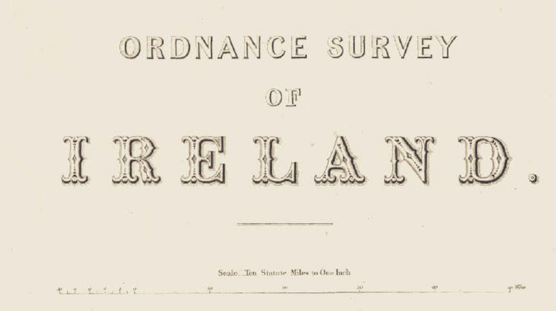
Would you like to look at this historical map – the map that was the subject matter of “Translations”? Well all you need do is click on the following link (best done on a larger screen, not on a smartphone) and follow the instructions to examine a part of Ireland of particular interest to you:
Next, here is what you need to do in order to see the 1837 historical map of any of your ancestral locations in Ireland:
- Once you are in the Geohive website – see the “Data Catalogue” at the top left of your screen?
- Click on the + symbol beside the “Base Information and Mapping” option.
- Select “Historic 6 Inch Colour 1837”.
- Now, zoom in on the map to an area of your interest by double-clicking on that area of the map (you can also use the + and – on the top right side of your map to zoom in and out). You’ll get the hang of it in no time!
- You can use the slider at the bottom of the left-side menu to “slide” between to modern representation of the map and the 1837 version.
- Can you see any of your Irish ancestral homelands (townlands, villages, streets etc.) named on this map? Do comment below and let me know.
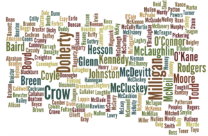
Do feel free to comment below if you would like to say hello, tell us how your day is going, or to share the Irish surnames in your family.
Slán for this week,
Mike & Carina.


 7")
 8")
Only Plus Members can comment - Join Now
If you already have an account sign in here.